Photo: Kbh3rd · CC BY-SA 3.0
Mina Sauk Falls
If you're passing
Is it plungeworthy?
A 3-tier tiered on tributary of Taum Sauk Creek.
The details
- Tiers
- 3 drops
- Type
- Tiered
- Watercourse
- tributary of Taum Sauk Creek
- Coordinates
- 37.56241, -90.74081
About Mina Sauk Falls
Mina Sauk Falls is a tiered in Missouri, on tributary of Taum Sauk Creek. The water falls in 3 distinct tiers.
It's fullest after rain, and flow can drop off during dry spells — plan around recent weather.
Plungeworthy rates Mina Sauk Falls 4.2/10 — if you're passing. The score weighs its scale, how confidently it's mapped, and its character.
What you'll find
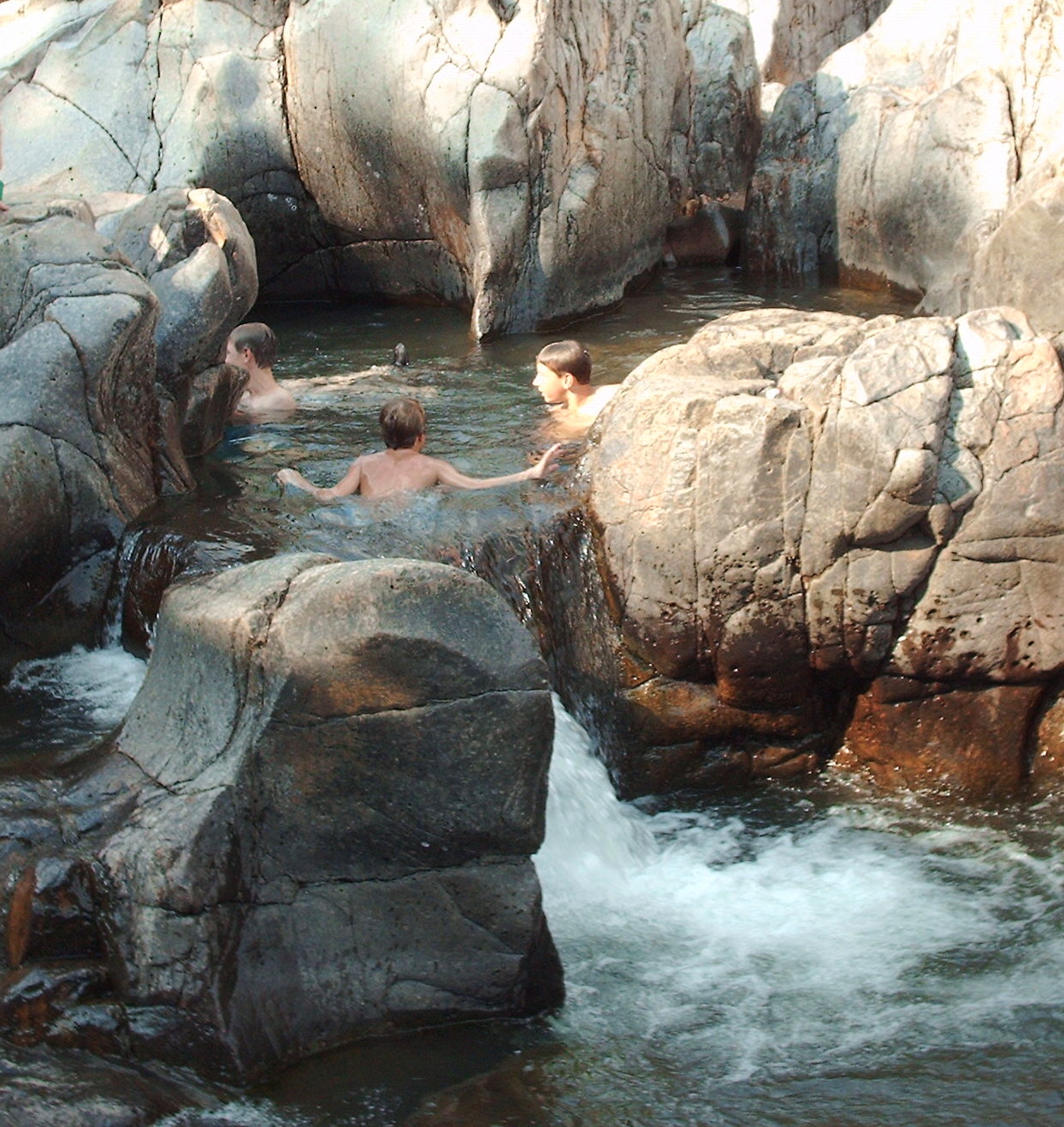
Missouri's tallest waterfall: 132 feet of drops over rocky volcanic rhyolite ledges into a clear, rock-bottomed pool, on the shoulder of the state's highest mountain.
The loop starts at the Taum Sauk highpoint lot — a short paved path touches the 1,772-foot summit, then the trail turns into rocky, rooty, boulder-strewn singletrack, descending 400-plus feet to the falls and climbing back out.
A mile below the falls on the Ozark Trail return leg stands Devil's Tollgate: an 8-foot-wide slot through 50 feet of rhyolite.
Getting there
- Trailhead
- Mina Sauk Falls Trail, Taum Sauk Mountain highpoint parking lot
- Parking
- Paved lot at the end of the park road off Highway CC
- Road
- Paved Missouri Highway CC
- Hike
- 3 mi round trip, 400 ft of climb (hard)
- Heads up
- Only the short highpoint stretch is paved and accessible; the rest is rugged, with a steep, loose descent right beside the falls. Connects to the Ozark Trail's Taum Sauk Section.
When to go
A true wet-weather falls — full flow needs recent rain or snowmelt; summer and fall often reduce it to a trickle or dry rock.
Spring, or within a day or two of a real storm, is when the 132 feet actually run.
Rules & fees
- Fee / pass
- None — Missouri state parks are free to enter
- Dogs
- Leashed, 10 ft max
- Hours
- Day-use sunrise to sunset
- Camping
- Walk-in tent sites only, first-come, honor-system fee $12-15/night; water and vault toilet seasonal (April-October)
- Warnings
- Steep, boulder-strewn descent beside the falls — sturdy footwear is non-negotiable, and the trail gets slick after heavy rain.
Researched from Missouri State Parks — Taum Sauk Mountain State Park · Missouri State Parks — Taum Sauk general information · Wikipedia — Taum Sauk Mountain State Park. Conditions change — verify before you drive. Been to Mina Sauk Falls recently? Post a conditions report below.
Where it is
Before you go
The pin marks the feature, not a trailhead or a legal route in. Some sit on private land or need a real hike, and conditions change with season and rain. Check local access, don't trespass, and never enter water — hot or cold — where it isn't safe.
Common questions
Where is Mina Sauk Falls?
Mina Sauk Falls is a waterfall in Missouri, at 37.56241, -90.74081.
Is Mina Sauk Falls worth visiting?
If you're passing — Plungeworthy rates it 4.2/10.
Gear for the trip
As an Amazon Associate, Plungeworthy earns from qualifying purchases.